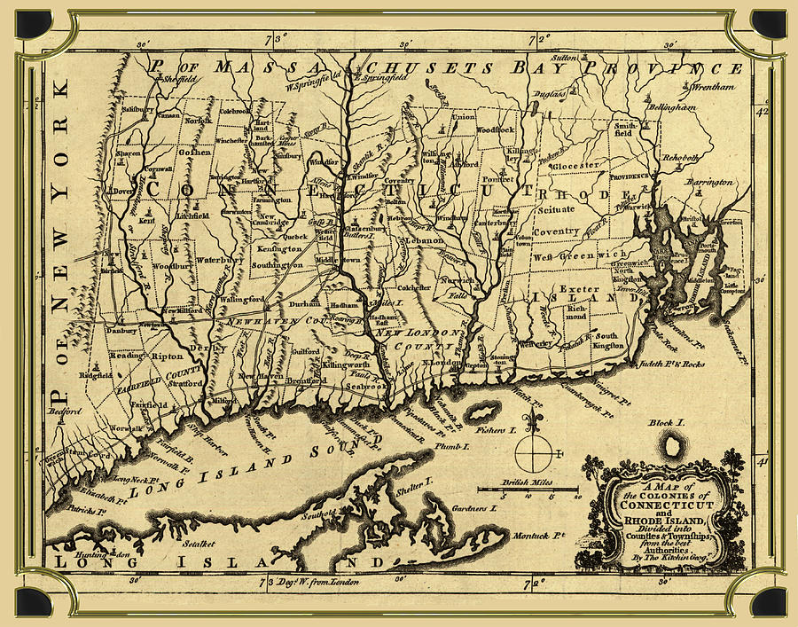
Connecticut and Rhode island Map

by Carlos Diaz
Title
Connecticut and Rhode island Map
Artist
Carlos Diaz
Medium
Digital Art - Digital Art
Description
A map of the colonies in Connecticut and Rhode Island, divided by counties & townships, from best authorities.
Contributor Names
Kitchin, Thomas, -1784.
Created / Published
[London], 1758.
Uploaded
May 8th, 2018
Statistics
Viewed 556 Times - Last Visitor from New York, NY on 04/19/2024 at 12:48 PM
Embed
Share
Sales Sheet
Comments
There are no comments for Connecticut and Rhode island Map. Click here to post the first comment.


